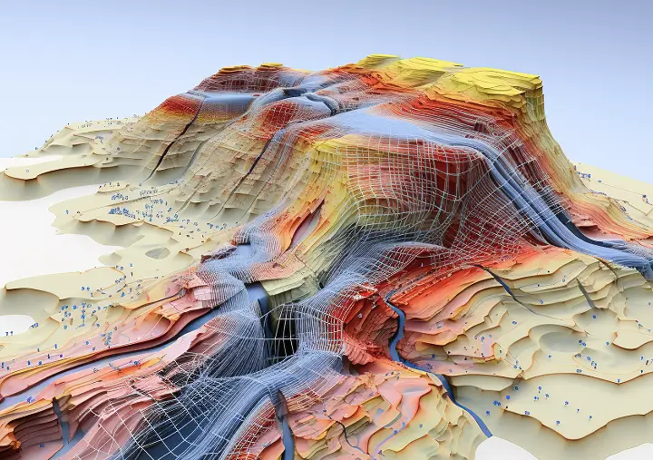
GenAI relies on a strong data infrastructure to drive its capabilities. With vast datasets and precise management, this backbone enables the AI to learn, adapt, and deliver advanced solutions across industries
A leading autonomous vehicle company needed high-quality labeled 3D LiDAR point cloud data to train their AI models for real-time object detection and navigation. The challenge was to accurately label millions of 3D data points captured by LiDAR sensors to distinguish between cars, pedestrians, cyclists, and road obstacles in various driving conditions.
Objectways delivered a comprehensive data annotation solution specifically designed to meet the unique requirements of autonomous vehicle development:
With Objectways’ support, the client successfully trained their AI models to detect and classify objects in real-time, significantly improving the safety and reliability of their autonomous vehicle systems. Our scalable solution allowed them to accelerate their development cycle and confidently progress toward deployment.
Accurately identify and label various objects in real-world environments, including vehicles, pedestrians, cyclists, traffic signs, and road infrastructure.
Train your AI models to recognize and classify objects in real-time, enabling autonomous vehicles to navigate safely and avoid potential hazards.
Explore how AI transforms smart city infrastructure by optimizing mobility, cutting resource waste, and supporting data-driven urban development.
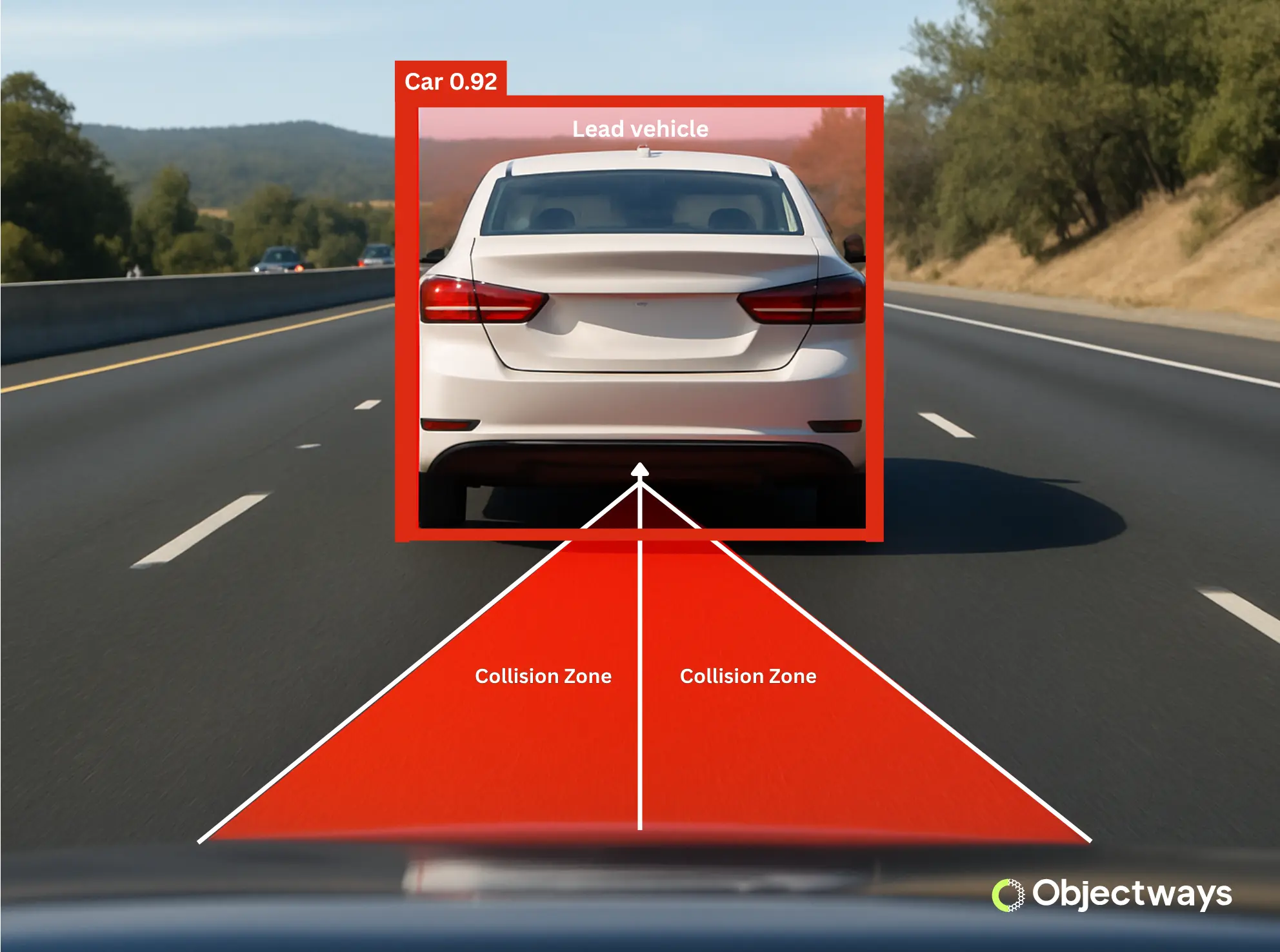
Cutting-edge solutions like advanced driver assistance systems (ADAS) are designed to make driving safer and easier. These systems rely on sensors like cameras, radar, and...